Log in
All resources
Create a design
Tools
542 Free Images of Manuscript Maps
spanish-language maps
pictorial maps
old manuscript maps
1632 maps
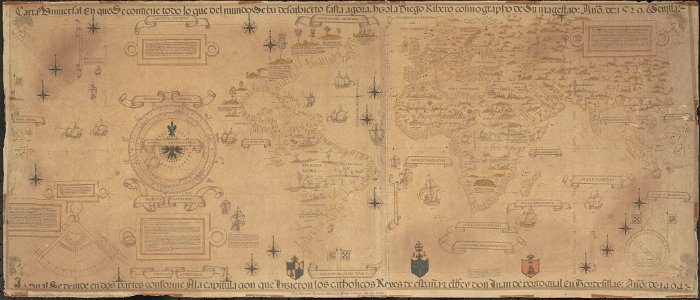
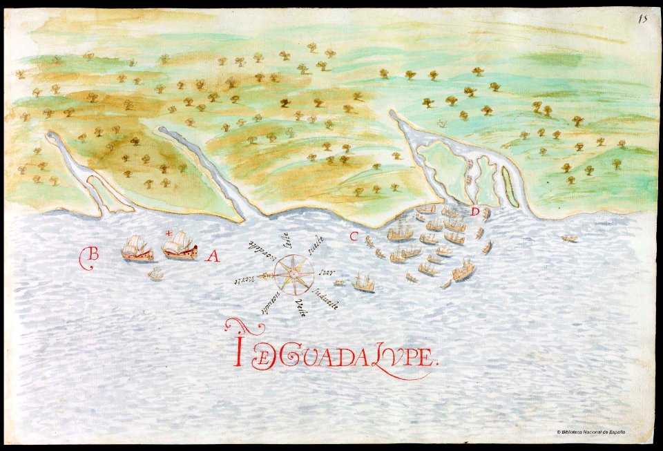
en especial del descubrimiento del reino de la california
descripciones geográphicas e hydrográphicas de muchas tierras y mares del norte y sur en las indias
maps by nicolás de cardona
watercolor maps
book
calligraphy
book
art
cartography
book
book
art
book
art
book
art
book
art
book
art
book
art
prime meridian
new world
book
art
book
art
cartography
book
book
art
book
art
book
art
book
art
circle
book
ancient
maps
list of most expensive books and manuscripts
waldseemüller map
ancient
maps
book
art
book
art
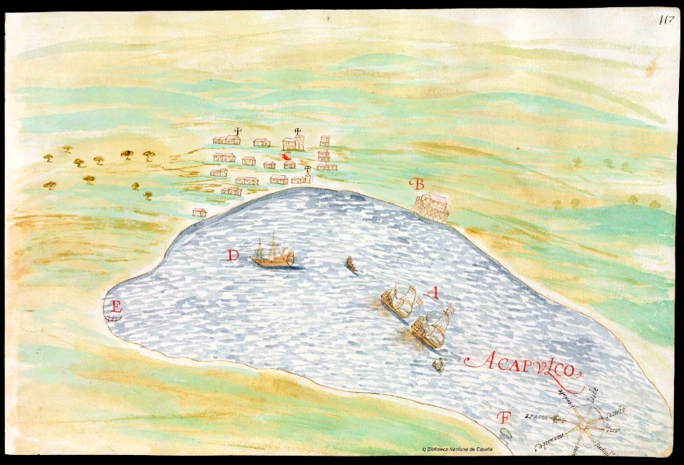
old maps of mexico
pictorial maps
old maps of mexico
pictorial maps
maps of isla margarita
pictorial maps
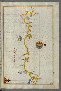
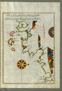
old manuscript maps
pictorial maps
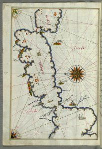
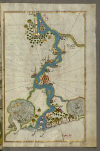
old manuscript maps
pictorial maps
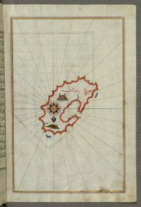
old manuscript maps
pictorial maps
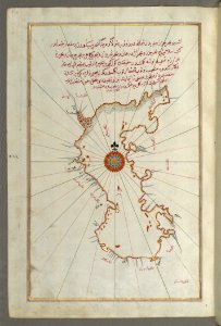
old manuscript maps
pictorial maps
old manuscript maps
pictorial maps
old manuscript maps
pictorial maps
old manuscript maps
pictorial maps
old manuscript maps
pictorial maps
old manuscript maps
pictorial maps
old manuscript maps
pictorial maps
old manuscript maps
pictorial maps
old manuscript maps
pictorial maps
old manuscript maps
pictorial maps
old manuscript maps
pictorial maps
old manuscript maps
pictorial maps
old manuscript maps
pictorial maps
old maps of mexico
pictorial maps
old maps of mexico
pictorial maps
old manuscript maps
pictorial maps
old maps of japan
perry expedition
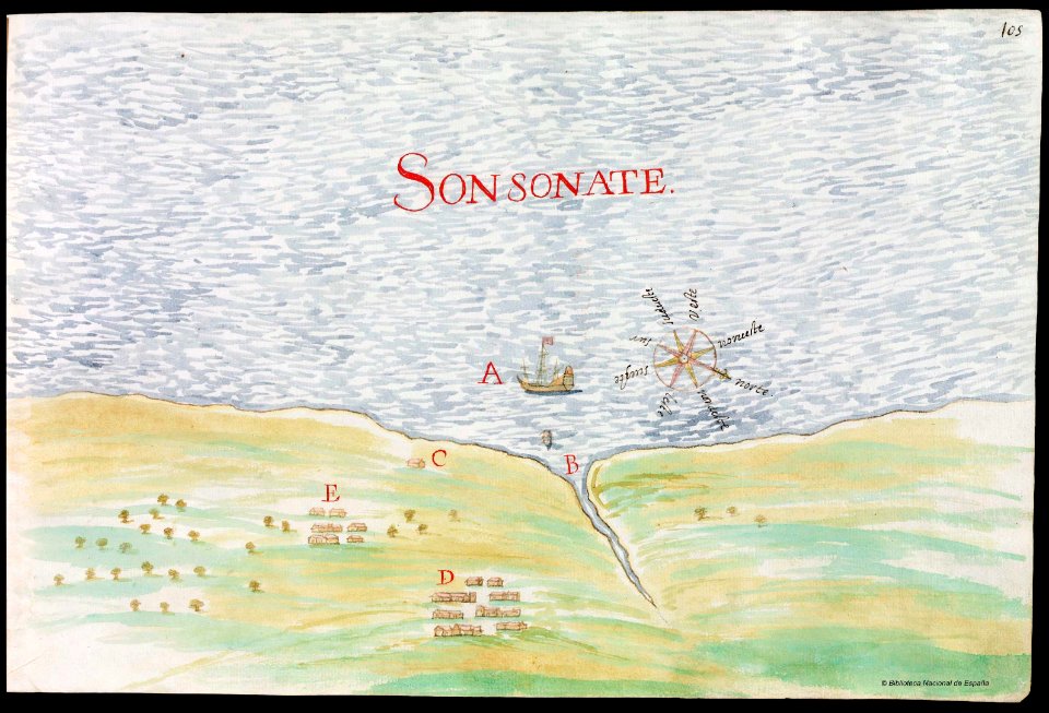
old manuscript maps
pictorial maps
old manuscript maps
pictorial maps
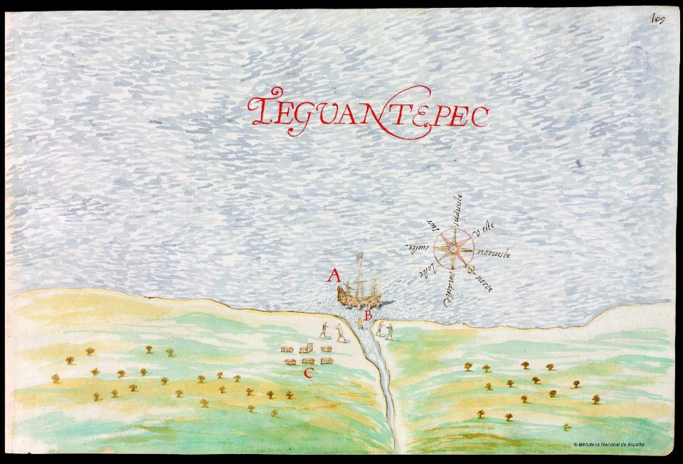
old maps of mexico
pictorial maps
old maps of mexico
pictorial maps
old manuscript maps
pictorial maps
old manuscript maps
pictorial maps
old maps of saint lucia
pictorial maps
manuscripts in the houghton library
harvard university
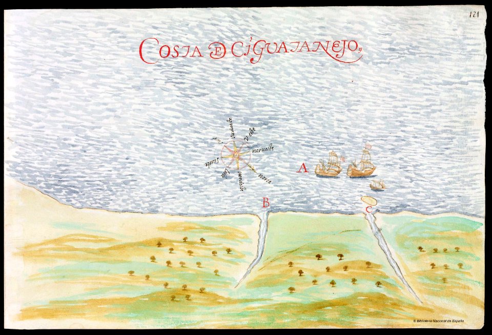
old manuscript maps
pictorial maps
old manuscript maps
pictorial maps
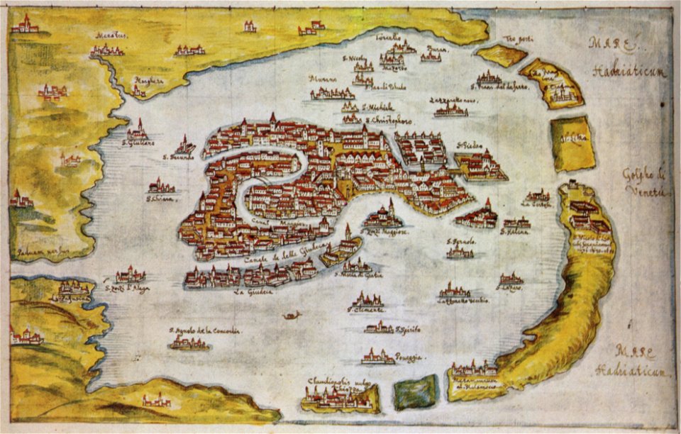
old maps of venice
gabriel bucelin
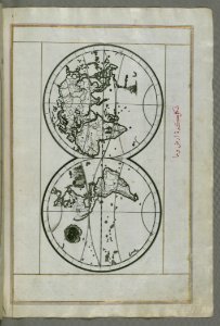
old maps of earth's hemispheres
pictorial maps
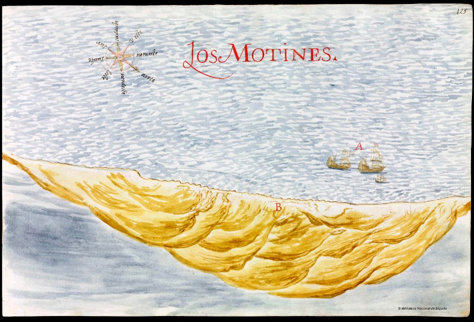
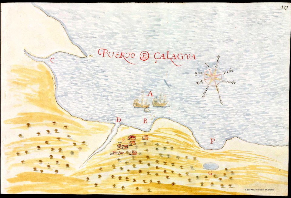
nayarit
chacala
old maps of mexico
pictorial maps
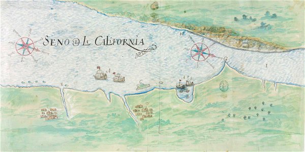
gulf of california
pictorial maps
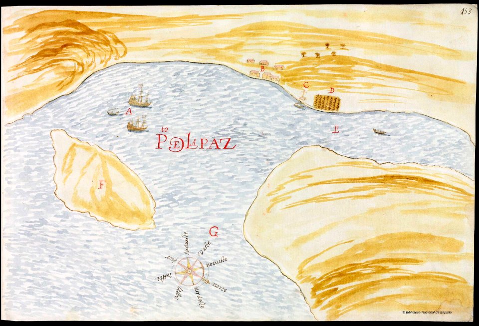
baja california sur
la paz
pictorial maps
barbados
old manuscript maps
pictorial maps
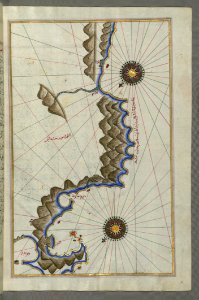
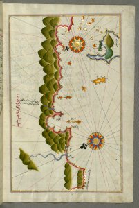
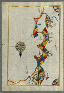
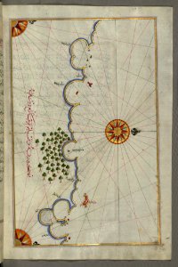
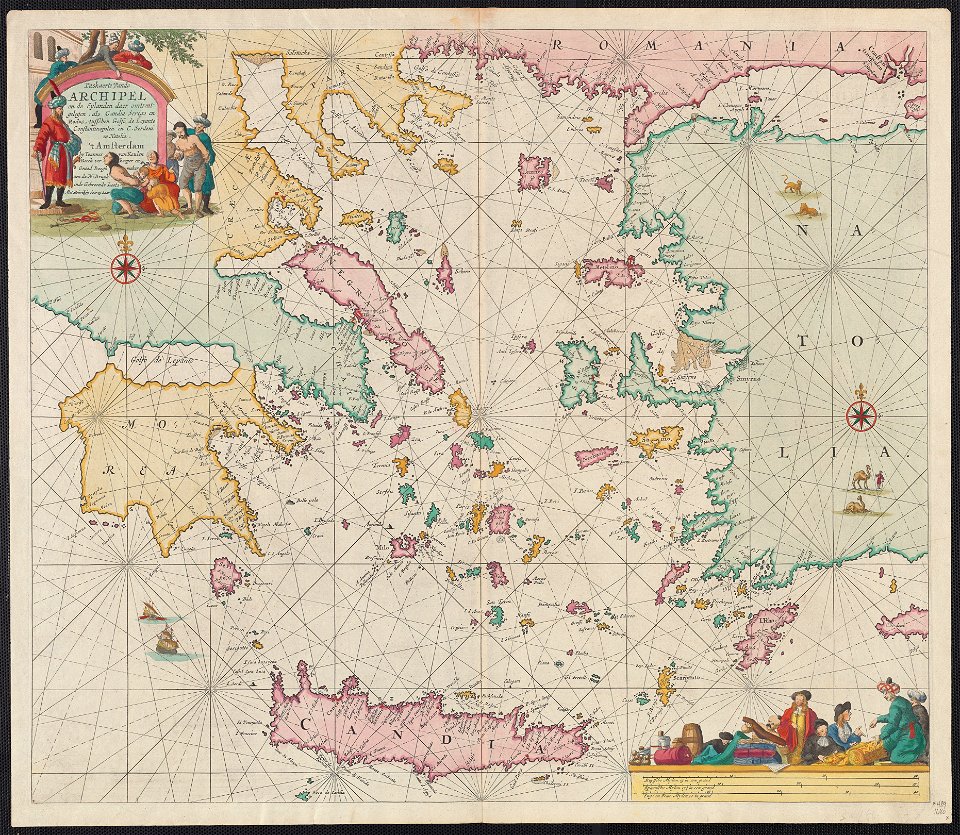
16th-century maps of the black sea
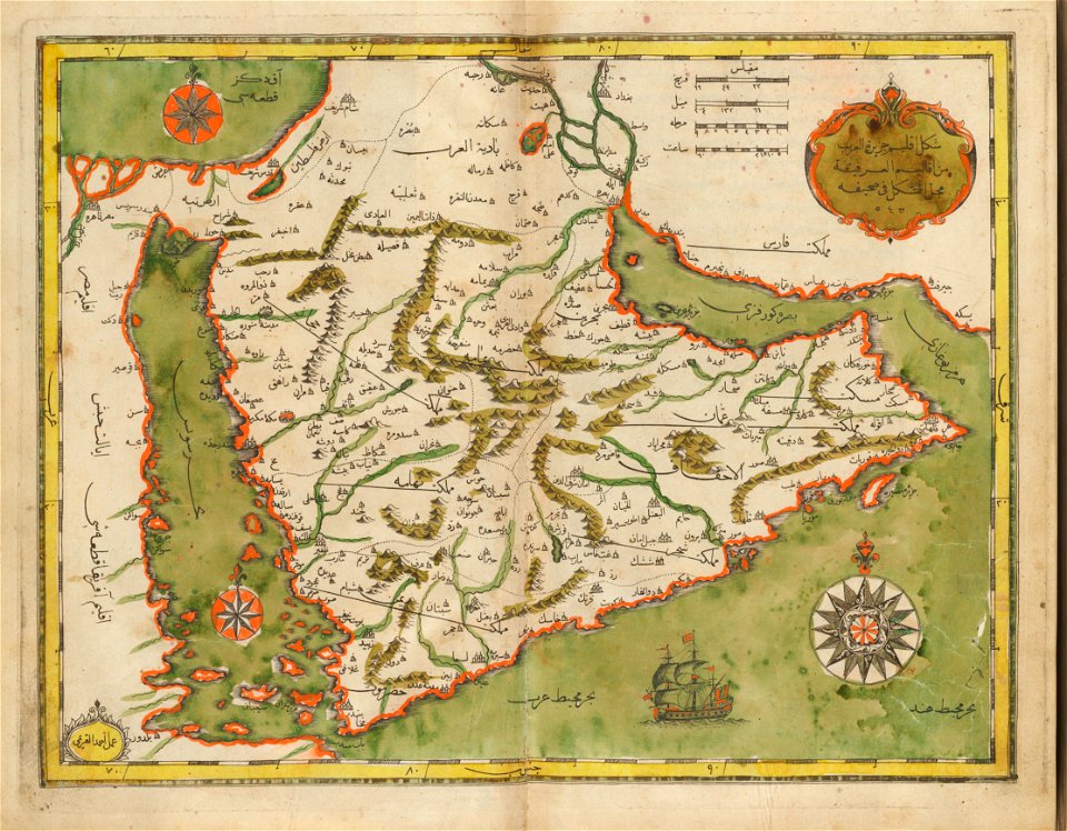
old maps of the middle east
maps of the sea of marmara
old maps of the aegean sea
old maps of the middle east
harvard university
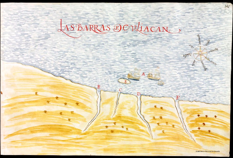
old maps of mexico
pictorial maps
history of saint vincent and the grenadines
pictorial maps
pictorial maps
ships of japan
pictorial maps
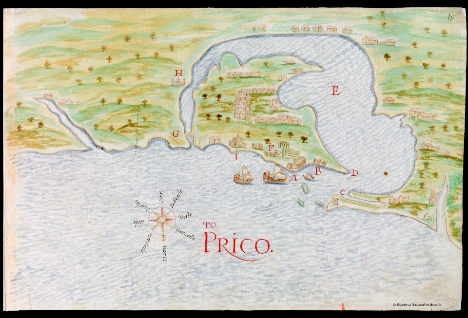
puerto rico
genealogy
shaker
friedrichshafen in art
maps of bodenseekreis
maps of bodenseekreis
history of bregenz
bibliothèque nationale de france français illuminated manuscripts
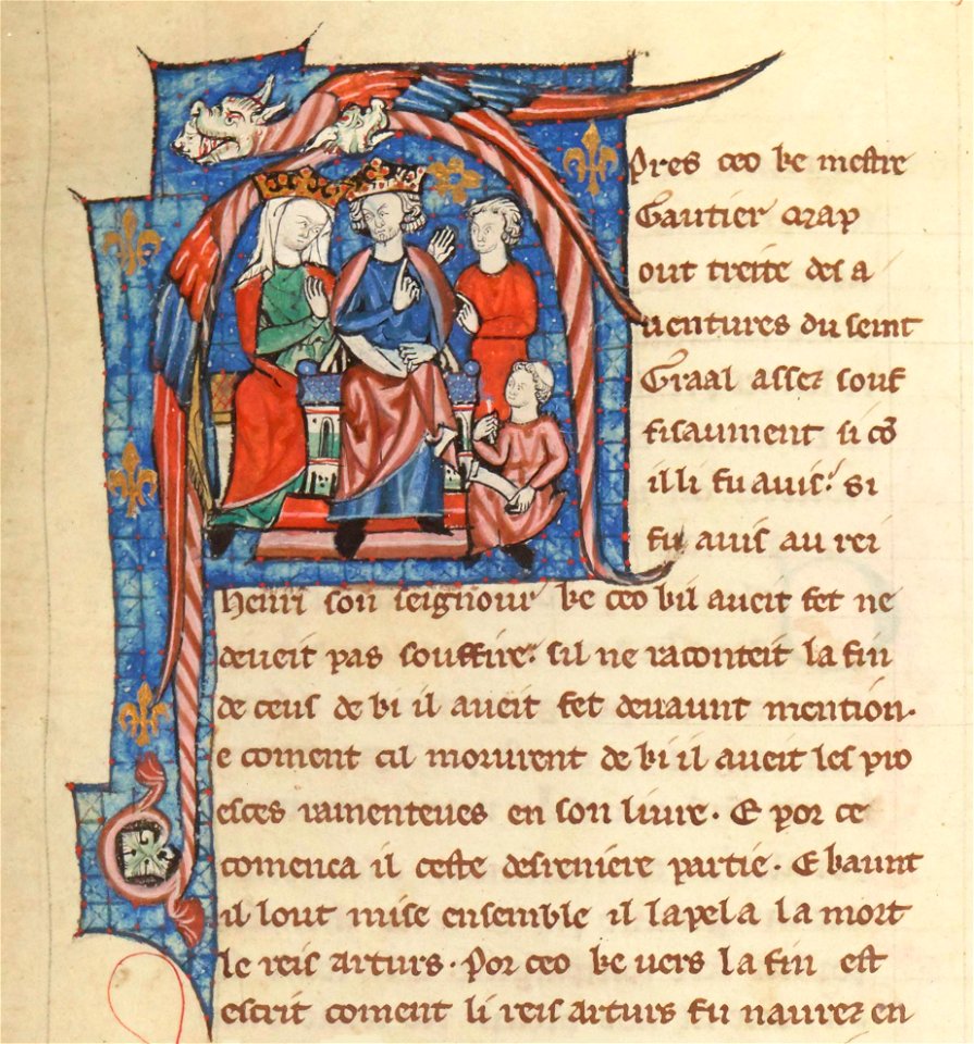
henry ii of england in miniatures
self-published work
indoor
norway, sweden, and denmark- with excursions to iceland and spitzbergen; handbook for travellers (1909)
maps of skansen
fort zeelandia, taiwan in art
siege of fort zeelandia
self-published work
muslim
maps by christian sgrothen
maps of erkelenz
très riches heures du duc de berry
early netherlandish painting
maps
book
may 2023 in venice
fra mauro map
colonial history of the united states
old maps of new york (state)
terra australis
padrón real
bodleian library, notitia dignitatum 1436
maps of roman palestine
1520s maps of the world
propaganda map
14th-century illuminated manuscripts from spain
jong (ship)
14th-century illuminated manuscripts from spain
jong (ship)
old maps of groningen (province)
maps by christian sgrothen
illuminated manuscripts in the museo correr
pietro vesconte
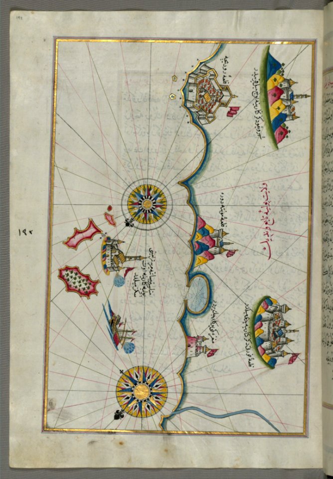
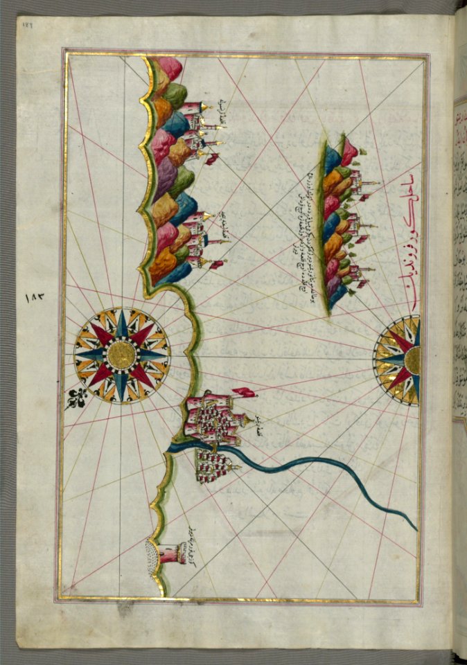
maps of the ottoman empire by mercator-hondius
eran laor cartographic collection
maps in the library of congress
1670 maps
maps of san juan, puerto rico
atlas blaeu-van der hem
maps of the ottoman empire by mercator-hondius
eran laor cartographic collection
maps of the ottoman empire by mercator-hondius
eran laor cartographic collection
maps by christian sgrothen
manuscript maps
maps of the ottoman empire by mercator-hondius
eran laor cartographic collection
classicism
1482 maps
17th-century maps of north carolina
old maps of virginia
1670s maps of new york (state)
1670s maps of new jersey
201 - 300 of 542
Next page
/ 6


![Manatvs located on the Noot [sic] Riuier., 1639](https://cdn.creazilla.com/illustrations/10001304673/manatvs-located-on-the-noot-sic-riuier-1639-md.jpg)


